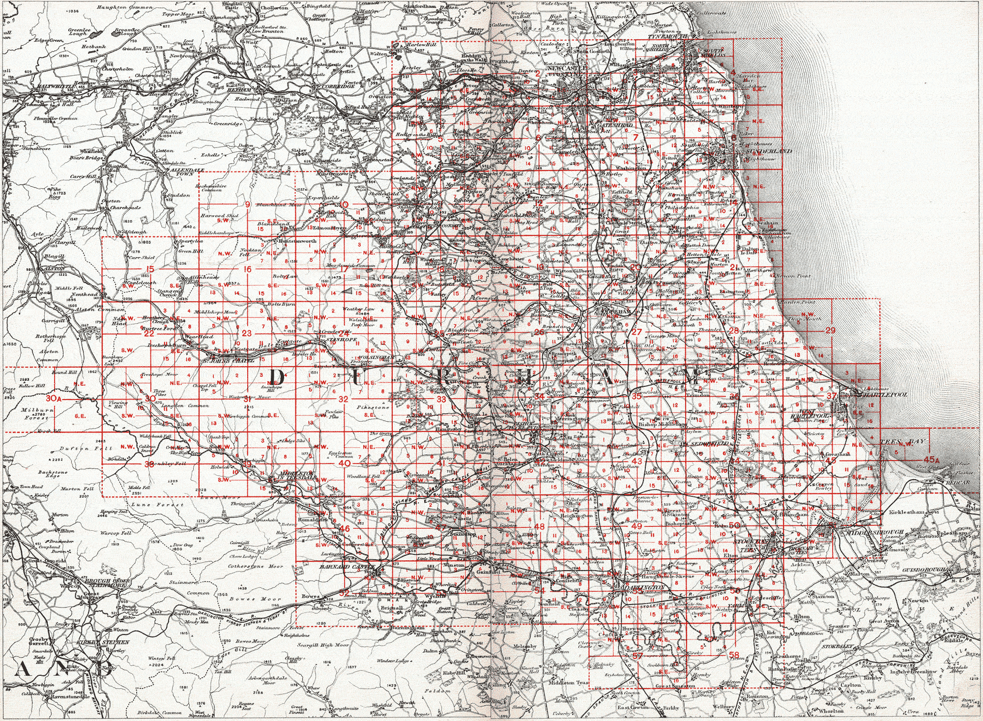
The image below is the key to the 25 inch series of Ordnance Survey maps of County Durham produced between 1856 and 1950.
Click on the area of interest within the red lines to load an enlarged version of that set of sheets (any area without a number did not have a sheet produced). Durham University Library does not hold a complete set of maps.